
Purpose of the flight and payload description
This was the second flight of a stratospheric airship platform designed for high-altitude Earth observation, Intelligence, Surveillance, and Reconnaissance (ISR) operations. The vehicle was developed by the Aerial Delivery Research and Development Establishment (ADRDE), based in Agra, India, under the Defence Research and Development Organisation (DRDO).
During ascent the vehicle reached a maximum altitude of 21 km above mean sea level (AMSL). It then floated at 20 km AMSL for more than 30 minutes before being commanded to descend. The launch site, launch and termination times, and the flight trajectory were not disclosed.
The flight train carried an inertial measurement unit (IMU), a GPS receiver, onboard cameras, an altitude-control mechanism, and instrumentation and control electronics for flight monitoring and control. Real-time video and all vehicle parameters were downlinked to the Ground Control Station for the entire flight, and the telemetry showed the intended flight performance.
Following completion of the flight, the system was successfully recovered for post-flight analysis. The mission follows earlier maiden flight trials of ADRDEs Stratospheric Airship Platform within the same development program carried out in 2025.
Details of the balloon flight
Balloon launched on: 10/6/2026
Launch site: Unknown Location, India
Balloon launched by: Defence Research and Development Organisation (DRDO)
Balloon manufacturer/size/composition: Stratospheric Airship
End of flight (L for landing time, W for last contact, otherwise termination time): 10/6/2026
Balloon flight duration (F: time at float only, otherwise total flight time in d:days / h:hours or m:minutes - ): 1 h
External references
- Press release about the test DRDO facebook page
Images of the mission
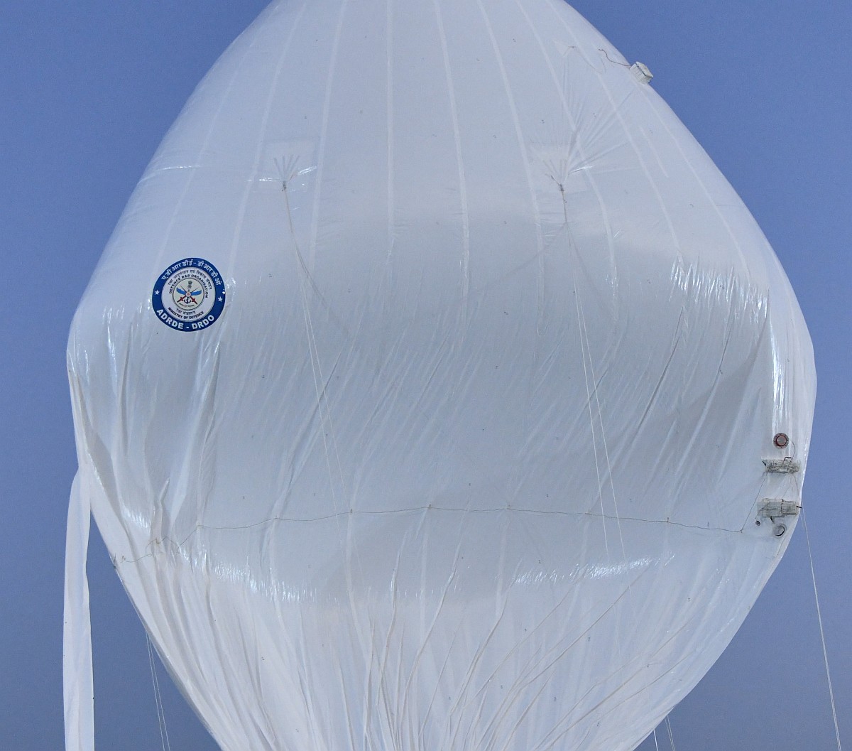
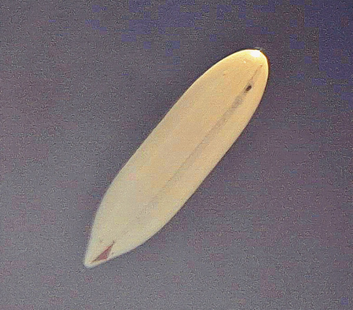
StratoCat is an independent, non-commercial project maintained to preserve and share the history of scientific and stratospheric ballooning. If you find the site useful, you can help keep it running with a small donation toward its operating costs. Every contribution, even the equivalent of a cup of coffee, is greatly appreciated.